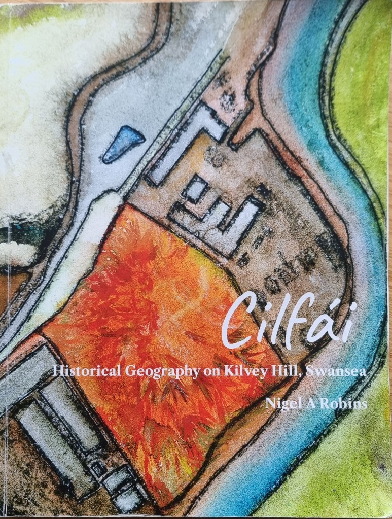
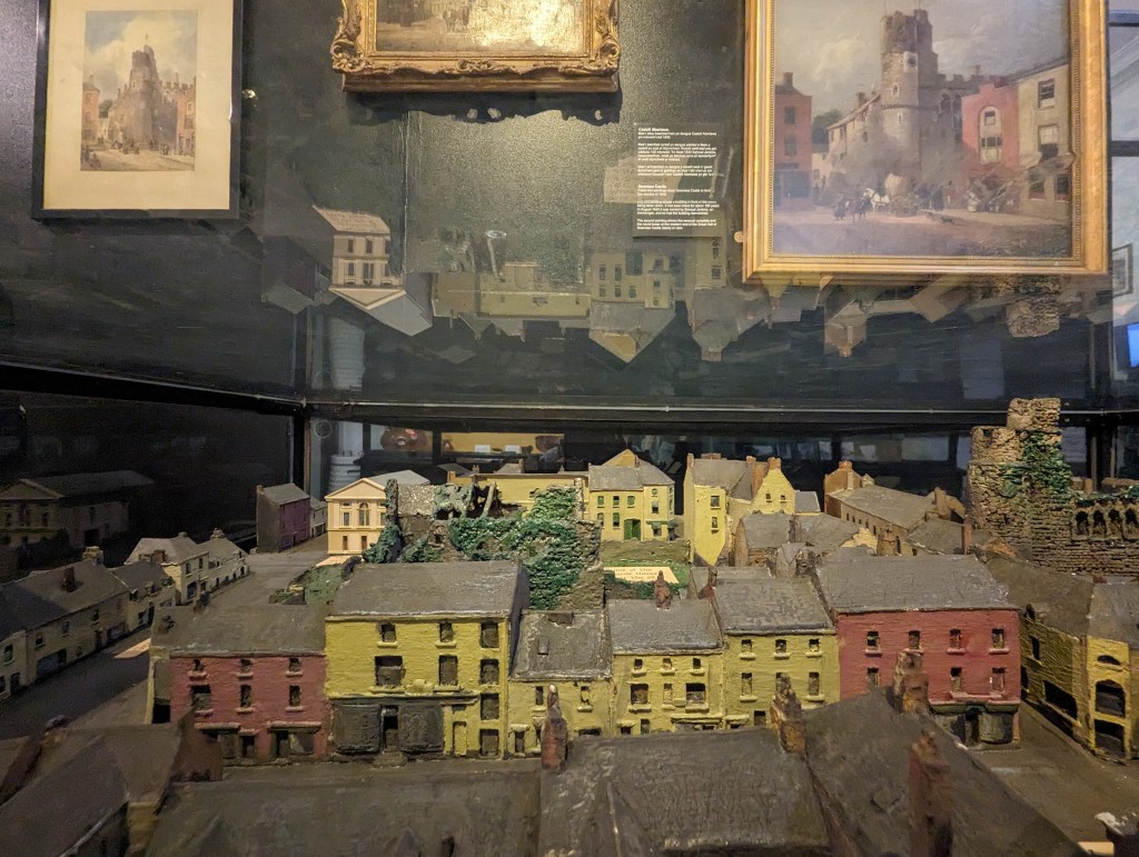
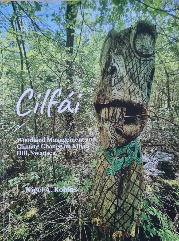
There are several crucial books on the history of Cilfái and the Lower Swansea Valley that serve as invaluable references. These are the books that form the foundation of your understanding. Without them, comprehending the reasons behind certain actions, inactions, and unresolved issues can be a daunting task. As with any large organisation, Swansea Council grapples with a lack of corporate memory and knowledge, particularly concerning the valley. In fact, some of the current issues with disputed ownership and title of the hill stem from the lack of historical knowledge and records among younger or less-experienced staff.
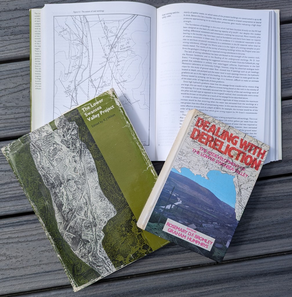
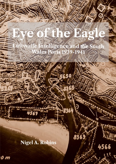
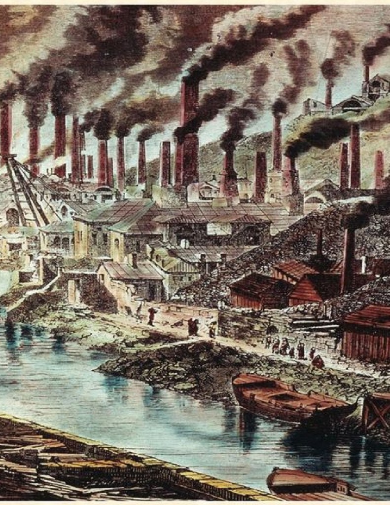
Perhaps the most famous book is the Lower Swansea Valley Project (Hilton 1967)This is the handbook summarising the scope and delivery of the Lower Swansea Valley Project. For decades, it has been a standard reference for environmental and ecological history. I used this book extensively to research the first Cilfái volume. The LSV Project remains a milestone in the history of government, local authority, and academic teamwork, and the work results have benefitted Valley residents immensely.
The Hilton volume documents, in thirteen chapters, the history, drainage, engineering, transportation, and social aspects of the LSV and the challenges involved in delivering change.
The second milestone book for the history of Cilfái and the Valley is Dealing with Dereliction. (Bromley and Humphrys 1979)This book came out over a decade after the Hilton volume and chronicles the challenges and changes the Project brought about. It is a wonderful example of a project closure report covering the benefits delivered and remaining issues. In my civil service days, I used it to illustrate how to manage the lifecycle of a large government programme or project.
Last but certainly not least, I’ve selected the City Archives Office booklet from 1991 describing some of the Archives Office holdings covering the LSV Project (Alban 1991). The cover notes were written by Dr J.R. Alban, who many will know as one of Swansea’s most significant historians. Dr Alban, who was our City Archivist at the time, wrote many such booklets. If you can get to see a copy, this is the quickest way to understand some of the archived records of Cilfái and the surrounding area.

You will find all these books easy to consult in Swansea Library and the West Glamorgan Archive Service on the big bookshelf!
Alban, J.R. 1991. ‘Rebuilding a Future: The Reclamation of the Lower Swansea Valley Exhibition Catalogue’ (Swansea City Council)
Bromley, Rosemary D. F., and Graham Humphrys (eds.). 1979. Dealing with Dereliction: The Redevelopment of the Lower Swansea Valley (Swansea: University College of Swansea)
Hilton, K. J. (ed.). 1967. The Lower Swansea Valley Project (London: Longmans)