In September last year, Swansea Council released a brief report on the need to meet their Corporate Plan Wellbeing Objectives by declaring up to sixteen new Local Nature Reserves (LNRs).
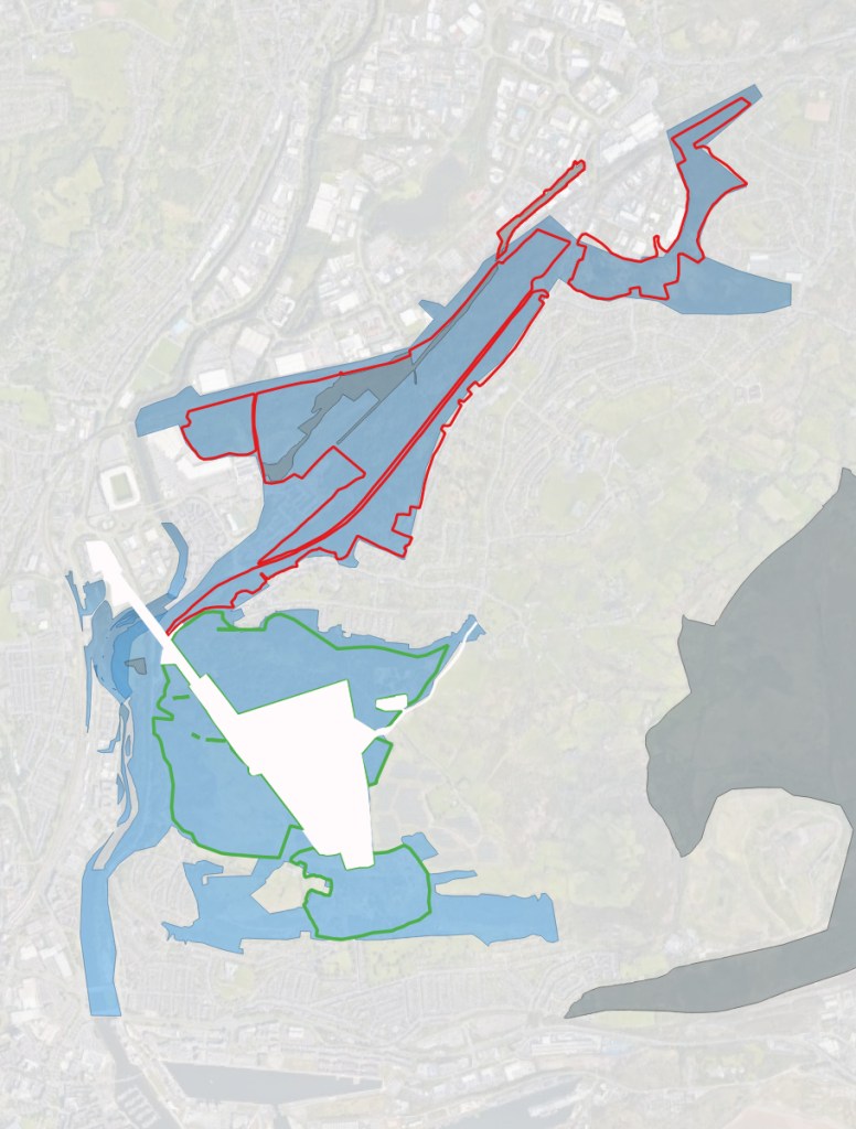
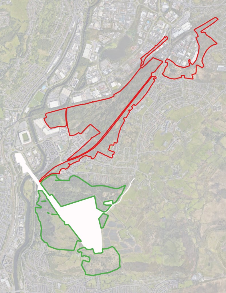
The proposed list includes Number Eight on the list ‘Lower Swansea Valley – Pluck Lake to Llansamlet’.1 The land is edged in red on the plan below.
The proposed Pluck Lake LNR site contains most of the SSSI ‘Six Pit, Swansea Vale and White Rock’.2 The White Rock element is not included in the LNR, as it is almost a kilometre southwest of the main SSSI site. There is a difference in the boundaries of part of the LNR and the SSSI, and some land of the SSI is currently outside the proposed extent of the LNR.
The LNR comprises five enclosures, most of which fall within the local SINC (edged red on the attached plan). However, the northern section of the SSSI falls outside the SINC, lying to the south-east of Castle Court on Phoenix Way.
The LNR lies to the north of the Kilvey Retained Land (the ‘KRL, edged green on the attached plan).3 A short stretch of Pentre Chwyth Road separates the LNR and the KRL.
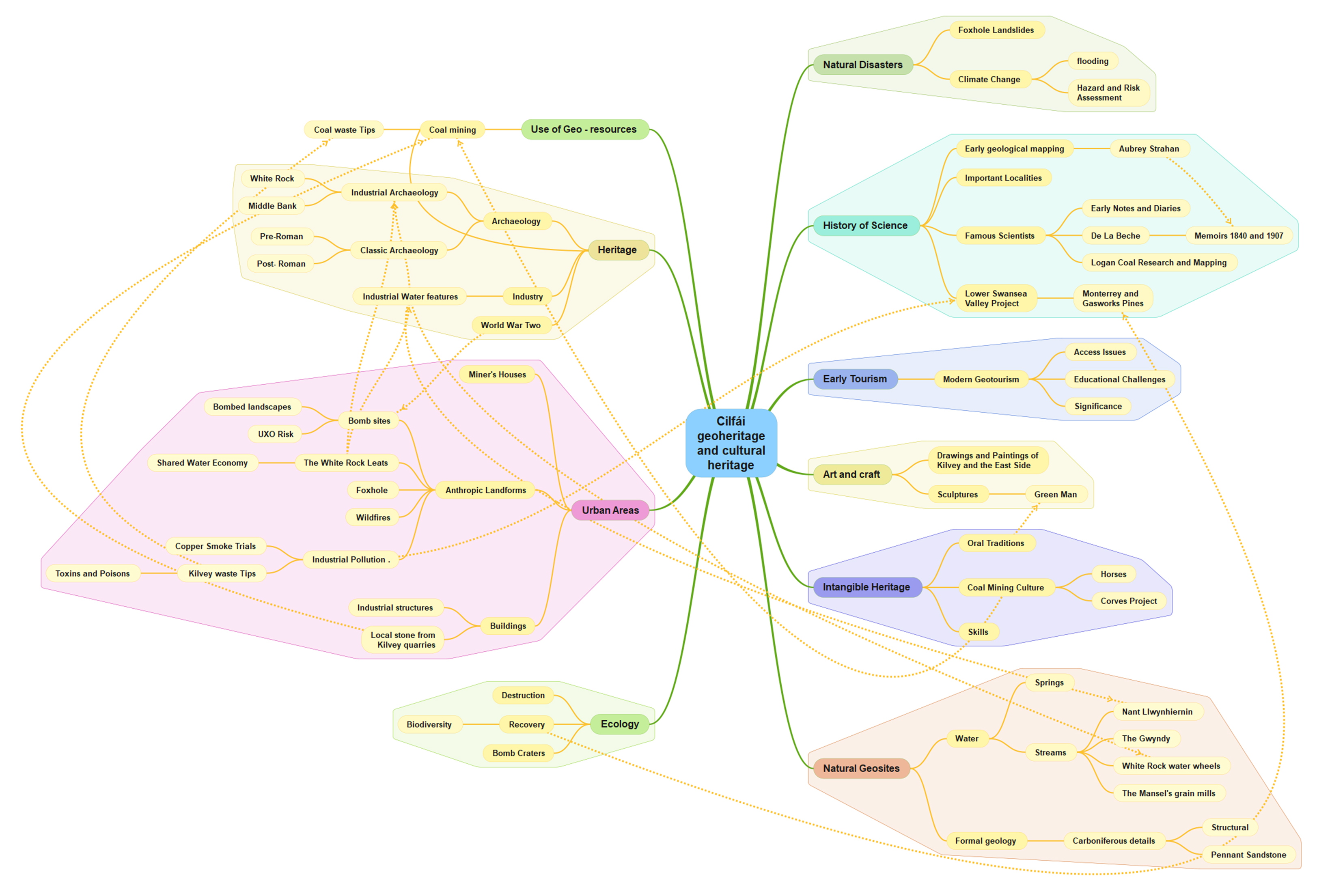
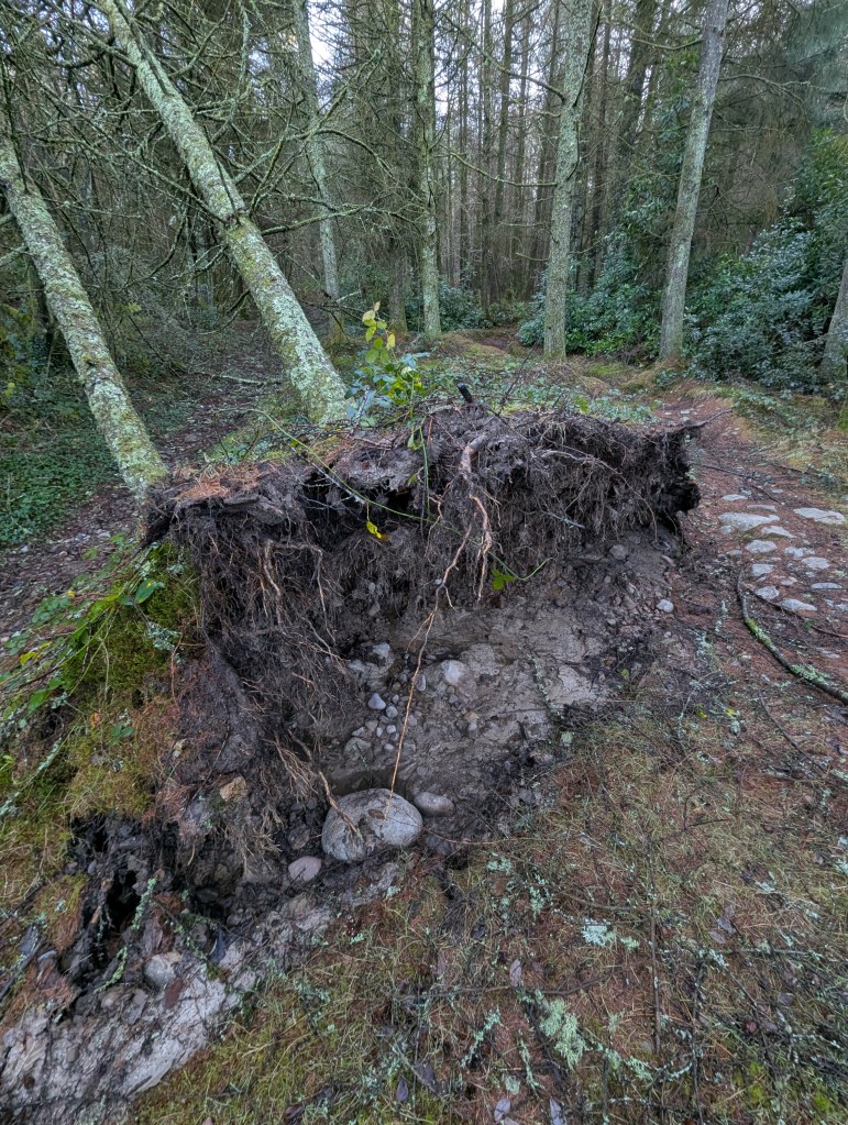
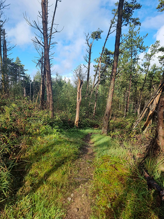
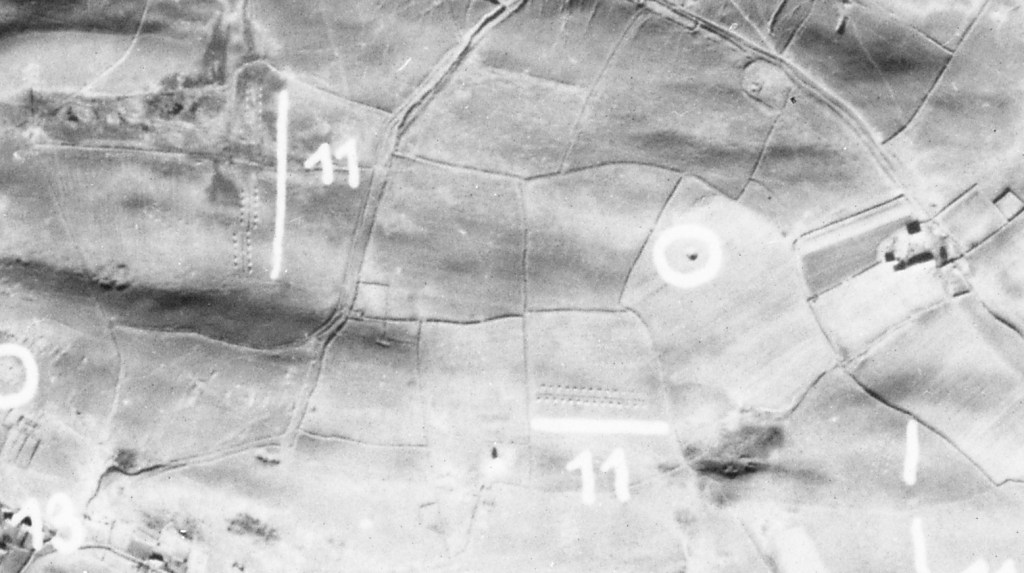
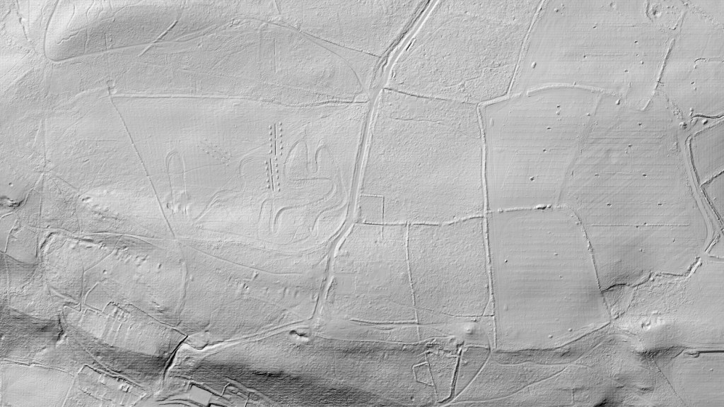
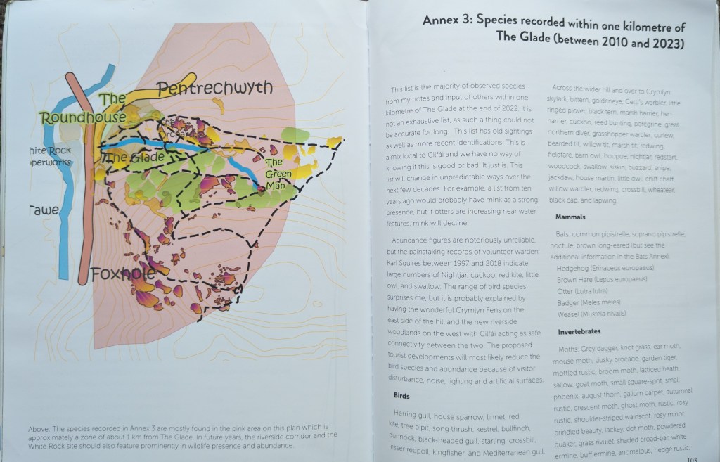
The LNR includes land that was previously used for various tips and industrial buildings, including the Llansamlet Copper and Arsenic Works and a portion of the Villiers Spelter Works. The LNR also contains at least three of the original experimental tree plots of the Lower Swansea Valley Project from the 1960s.4
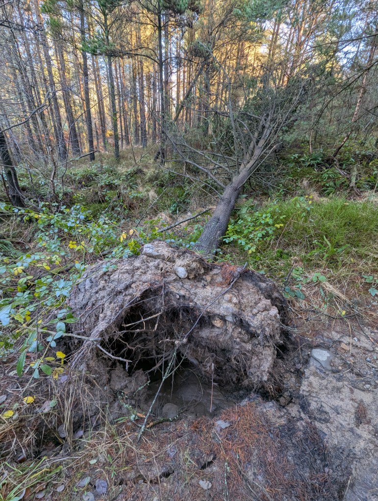
The A4217 bisects the main section of the LNR. This presents a serious risk to wildlife moving between the eastern and western sections of the LNR. I have seen badgers, foxes, and owls killed on the road, which, although subject to a 50mph speed limit, is a site of regular speeding. Equally, the increased number of collisions between vehicles and wildlife that will inevitably occur as the LNR woodland matures presents an increasing hazard to road safety in the area. Warning signs and more traffic enforcement measures should be considered.
The strangest anomaly with the proposals is the lack of recognition of the Kilvey Retained Land. Whilst this was understandable during the turmoil of the various adverse possession claims, challenging land assembly conditions, and alterations to the proposed lease extent to the Skyline tourism firm, the surrender of the NRW woodland lease now presents a significant new opportunity to reinforce the green credentials of both the Council and the City’s eastern side.5
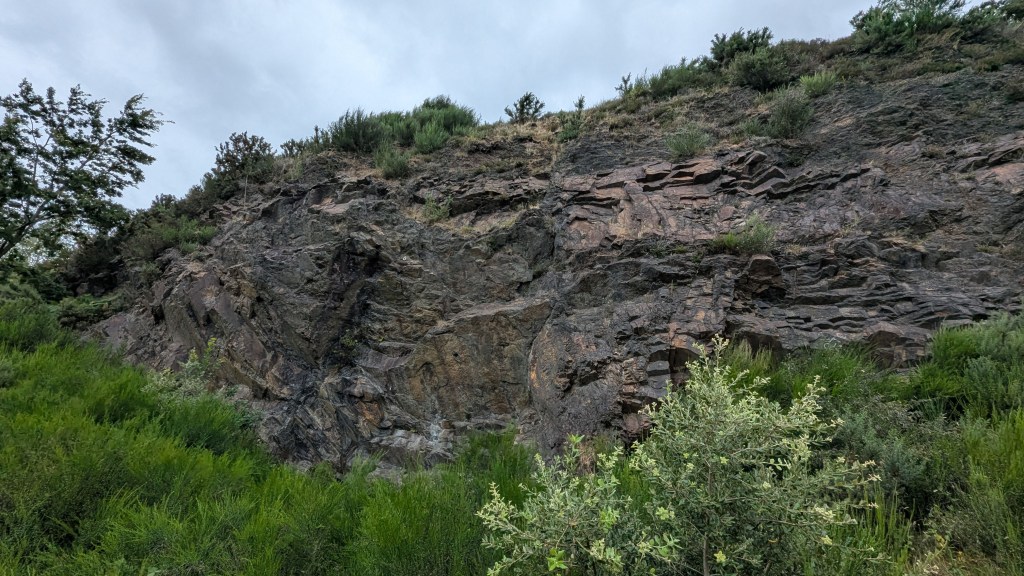
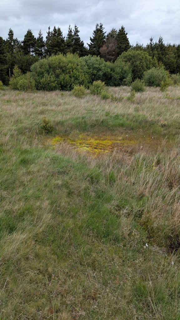
Now that the Skyline land can be safely disregarded for further consideration (coloured white on the attached plan), the Retained Land surrounding the Skyline appears to be approximately 78 hectares of woodland, heathland, grassland, and rock and waste tip exposures.6 All of this land, which we can safely consider open mosaic habitat, falls within the east-side SINC.7 The LNR sites currently proposed are also categorised as SINC land. It is pretty likely that, as we already know so much about the ecology, biodiversity and cultural history of the Retained Land, it will prove more significant and valuable than most of the Pluck Lake site.8 Also, Kilvey already has an established reputation for recreation and further education visits from Swansea’s Universities and Schools. In contrast, Pluck will not attract the same level of attention, as there is comparatively little biodiversity and heritage there (yet).9 This may be a significant factor in accessing further funding and supporting the longer-term implications of seeking future funding as described in the recent advisory report given to the Council’s Climate Change and Nature Recovery Service Transformation Committee.10 It is also worth noting that Kilvey already has an active, long-standing group of environmental volunteers who worked for many years alongside NRW and are currently in the process of creating a new Volunteers Agreement with Swansea Council to look after the Retained Land (and possibly the Pluck Lake area as well).
There is now a significant opportunity to add the Kilvey Retained Land to the Pluck Lake LNR proposal. There are several benefits and advantages to doing so. It will help address continuing concerns over protection left unaddressed after the NRW departure and the Skyline re-leasing. It will enhance the protection of two areas that are proving to be shining examples of post-industrial recovery and climate change resilience. The combination of the areas will significantly enhance Swansea Council’s ambition to become a nature-positive City. It will build on the continuation of the existing voluntary arrangements with local communities. LNR protection of the Retained Land as part of the Pluck LNR will also be seen favourably by the Skyline Company, who will be reassured that the land surrounding their considerable investment will continue to be cared for and environmentally enhanced.
- New Generation of Local Nature Reserves Heading for Swansea, (2026) <https://www.swansea.gov.uk/LNRcomingtocity> [accessed 27 January 2026]. ↩︎
- ‘Sssi_4200_citation_en001.Pdf’, n.d. <https://cdn.cyfoethnaturiol.cymru/682586/sssi_4200_citation_en001.pdf> [accessed 27 January 2026]; Steve Chambers, SIX PIT, SWANSEA VALE AND WHITE ROCK SITE OF SPECIAL SCIENTIFIC INTEREST, n.d. ↩︎
- The title ‘Retained Land’ appears to be the name for Council land on Kilvey Hill that is not the subject of a lease to Skyline Limited. ↩︎
- The Lower Swansea Valley Project, ed. by K. J. Hilton (Longmans, 1967), pp. 20–21. ↩︎
- The original 1970 lease of the Kilvey Woodlands made between Swansea County Borough Council and the Forestry Commission was surrendered back to Swansea Council in December 2025. ↩︎
- I am a qualified ecological surveyor with my experiences based on government monitoring and surveying woodland, the MOD estate and Woodland Trust properties. Between 2010 and 2013, I surveyed and monitored several large plots of Open Mosaic Habitat in Swansea, including the Kilvey Woodlands owned by Swansea Council. The plant lists I developed are here: Nigel A. Robins, Cilfái: Woodland Management and Climate Change on Kilvey Hill, Swansea (Nyddfwch, 2023), pp. 105–10. ↩︎
- ‘Open Mosaic Habitats on Previously Developed Land (UK BAP Priority Habitat Description)’, n.d. <https://data.jncc.gov.uk/data/a81bf2a7-b637-4497-a8be-03bd50d4290d/UKBAP-BAPHabitats-40-OMH-2010.pdf> [accessed 27 January 2026]; ‘Identifying Open Mosaic Habitat’, Buglife: The Invertebrate Conservation Trust, 2022. ↩︎
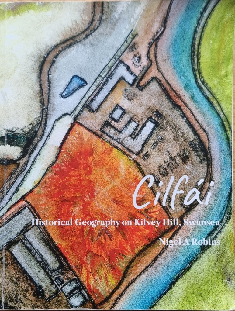
- Nigel A. Robins, ‘The White Rock Works Site, Nant Llwynheiernin and the Kilvey Woodland’, Minerva: The Swansea History Journal, 30 (2022), pp. 54–63; Nigel A. Robins, Cilfái: Historical Geography on Kilvey Hill, Swansea, 2nd edn (Nyddfwch, 2025); Robins, Cilfái: Woodland Management and Climate Change on Kilvey Hill, Swansea, 2nd edn; Nigel A. Robins, Cilfái: The History and Heritage Features, 2nd edn (Nyddfwch, 2025). ↩︎
- Between 2023 and 2025, I taught students from several local institutions vistiting the retained land, including Swansea University, UWTSD, U3A, and the Geological Association (RIGS). I also led trips for Cwm School and gave teaching sessions on Kilvey to pupils across various classes at St Thomas Community Primary School. I also held a series of talks and walks on climate change, biodiversity and archaeological features across the Hill. ↩︎
- ‘Climate Change and Nature Strategy 2022-2030’, Swansea, 2023 <https://www.swansea.gov.uk/climatechangestrategy> [accessed 8 August 2023]. ↩︎