The theme for this year’s International Geodiversity Day, to be held on Monday 6th October 2025, will be ‘One Earth, Many Stories’. International Geodiversity Day was proclaimed by UNESCO in 2021, following a grassroots campaign by geoscience organisations around the world. Geodiversity is all around us, and includes the parts of nature that aren’t alive, like minerals, fossils, soils, and landscapes.
Geodiversity Day is a worldwide celebration to bring people together in promoting the many aspects of geodiversity, and its importance to society. This year’s theme is a chance for people to connect with geodiversity. Every landscape, every stone, and every fossil has a story to tell. Our planet is a record of history that dates back more than 4 billion years; one that can teach us about the origins of our natural environment and where we, as animals, came from.
As people, communities, and governments implement the Sustainable Development Goals, geodiversity provides a record of earth history that can help us prepare and respond to threats such as climate change. ‘One Earth, Many Stories’ encourages all of us to discover examples of geodiversity; in our landscape, in museums, in historic buildings; and delve deeper into the multitude of stories contained within planet Earth. It is hoped that geoscience groups around the world will organise events to make the stories of their local geodiversity more widely known.
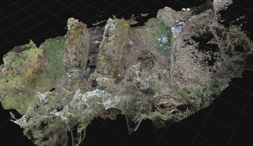
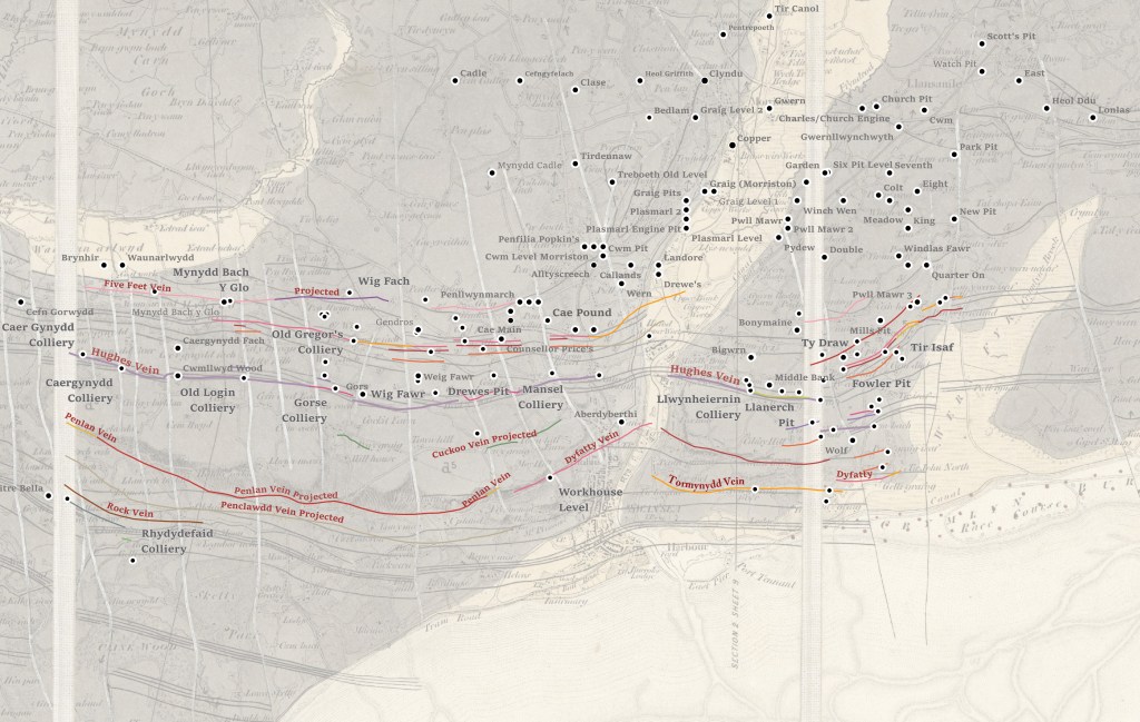
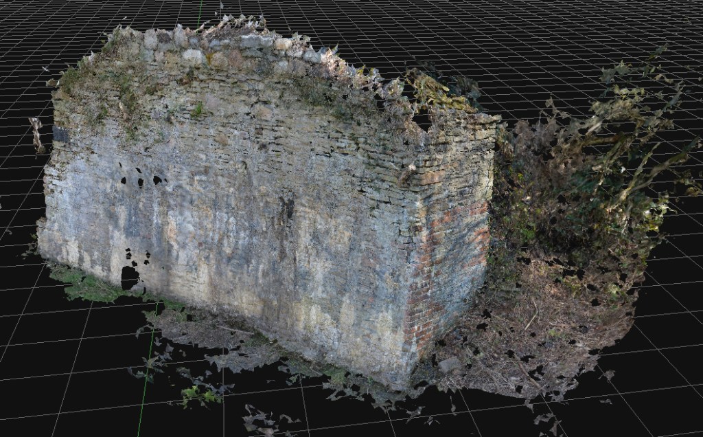
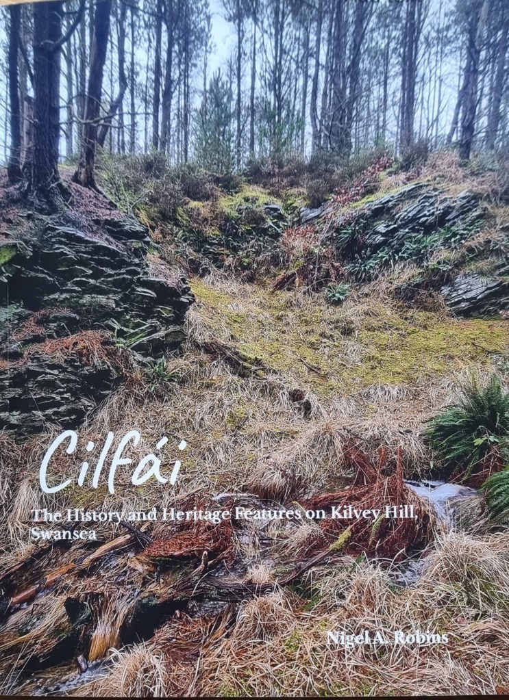
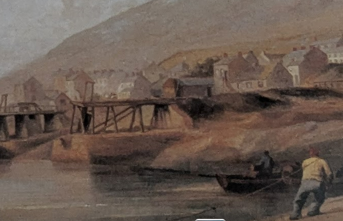
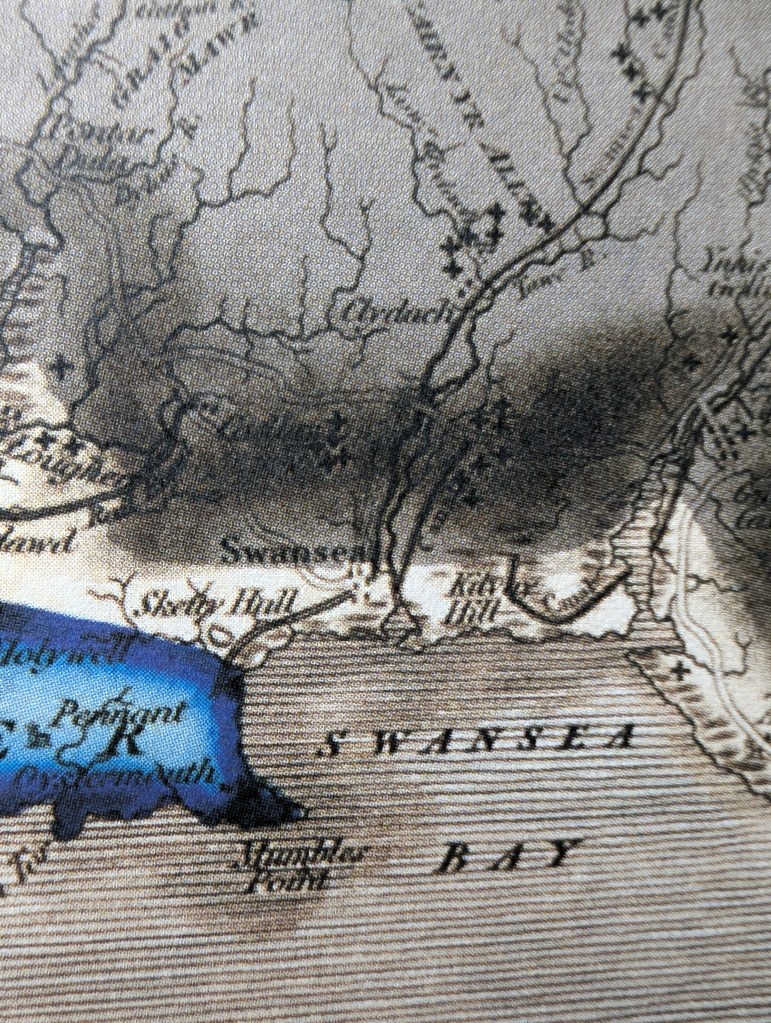
As part of International Geodiversity Day, I’ll be leading a walk around the geological and historical treasures of Kilvey in Swansea. Kilvey played a central role in the pioneering work to understand the South Wales coalfield. The hill was the training ground of one of Geology’s most notable pioneers, William Logan, who was the first to map the Swansea coal veins and understand the arrangements of the coal beds and how they related to the surrounding Pennant Sandstone.
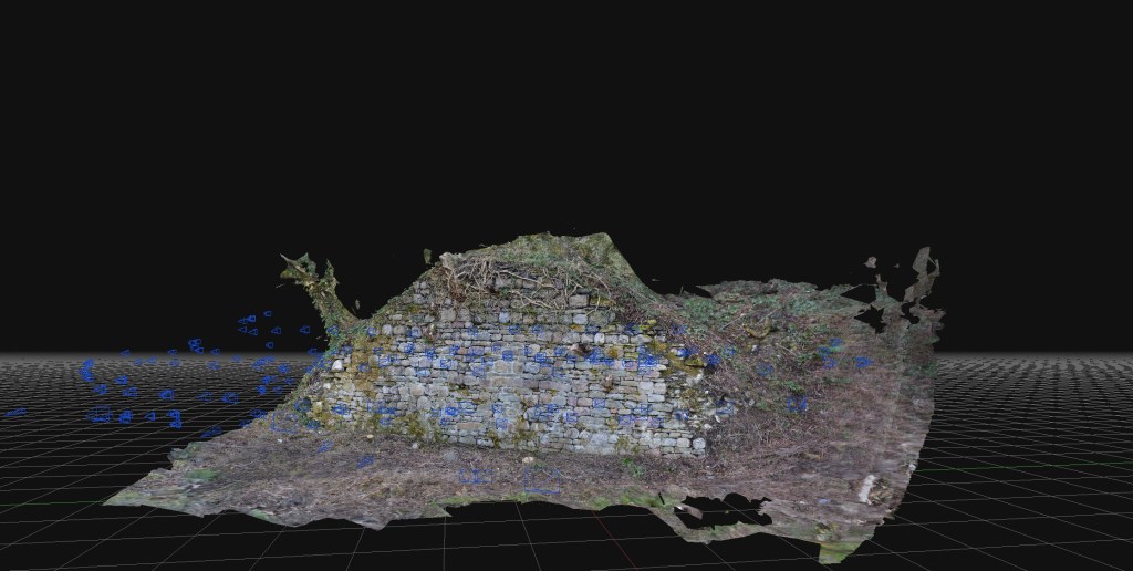
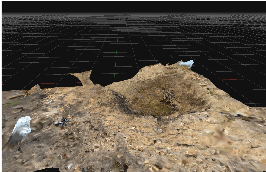
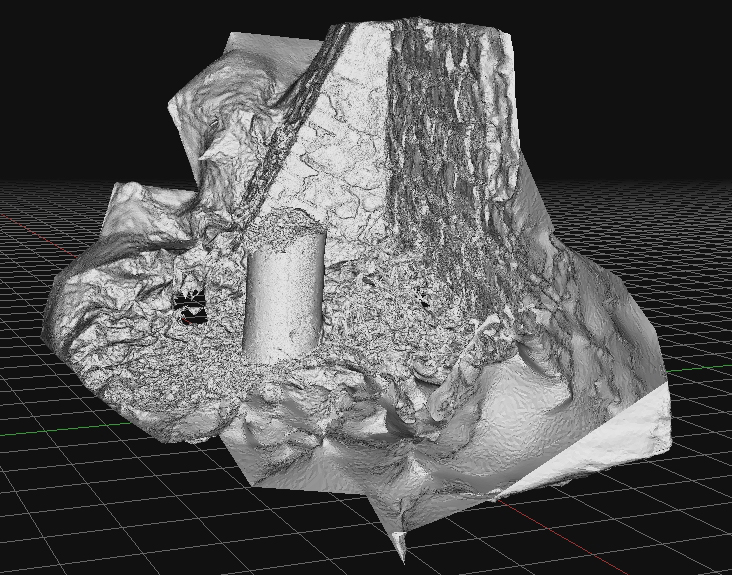
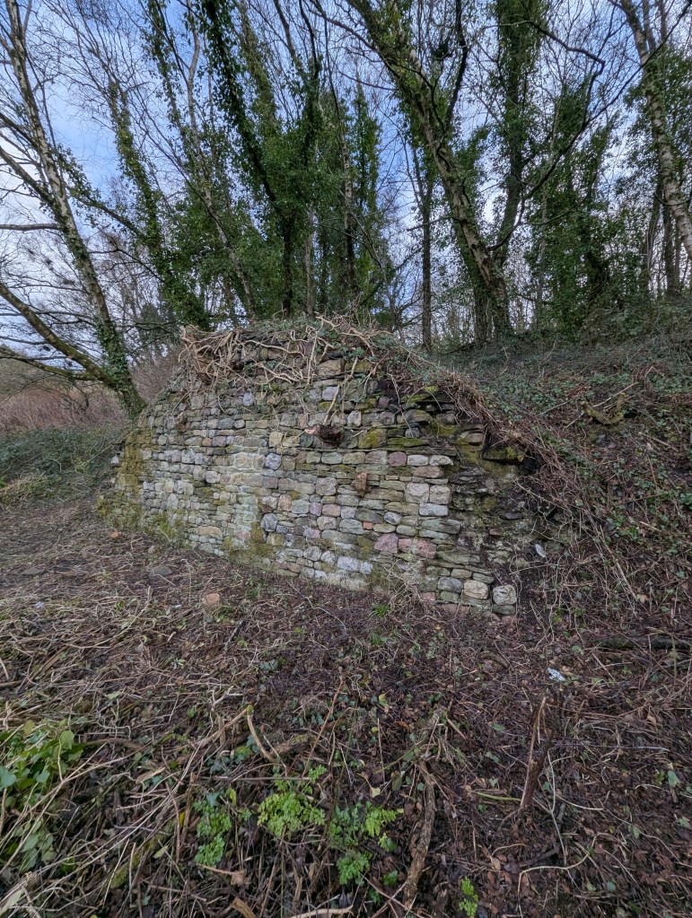
The hill has an incredible set of survivals from the early coal mining historry of Wales. The original coal face that Logan analysed and explored still survives, along with several medieval coal adits. There are also several fascinating sandstone rock exposures rich in plant remains, which gave the early coal prospectors of two thousand years ago the first clues that coal was present in these rocks.
Coal mining on Kilvey is a 1500-year-old industry and central to the history of Swansea.
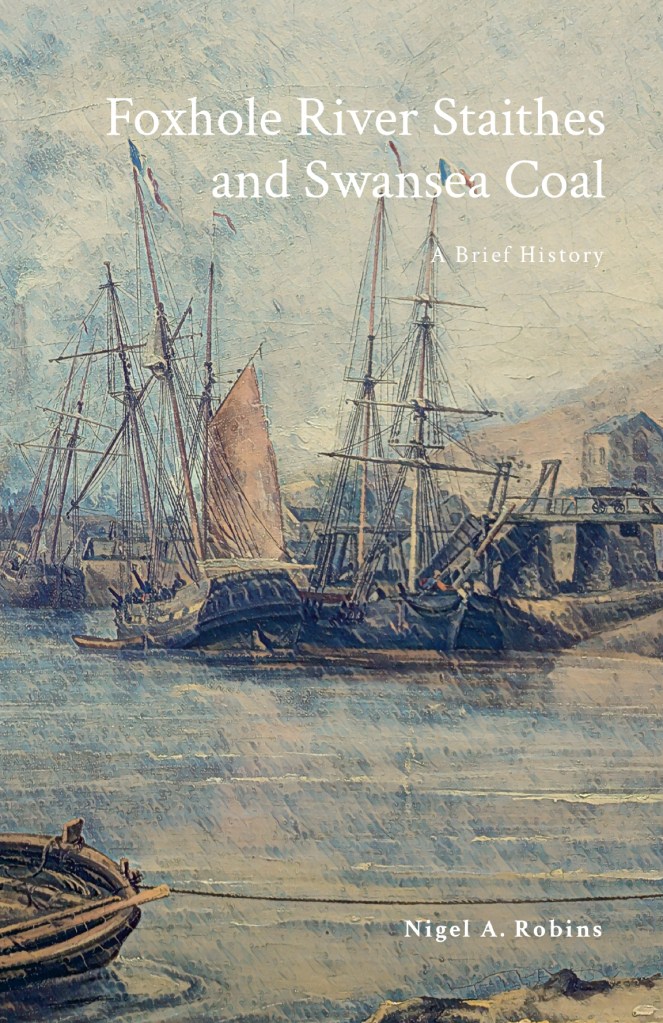
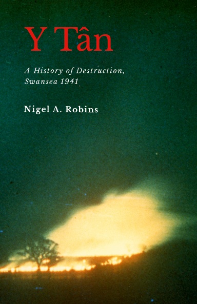
If you are interested in the history of Swansea coal, take a look at my recent bnook on the coal history of Foxhole on Kilvey