
I’m really pleased that this small project is now starting to yield results! The first delivery was a series of scans and interpretations of some rare dock structures on the banks of the River Tawe. Some of the structures are scheduled ancient monuments, but the oldest and rarest are not!
The brief for this structure was a cheap and accurate photogrammetric survey at the lowest cost, allowing for interpretation and enhancing the historical information from earlier work and new research. The requirement was cheap, quick and accurate, which meant no expensive drone or landscape surveys.
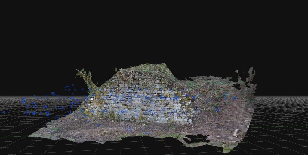
The work here was added to original surveys carried out in the 1980s, and a comparison with photographic records allowed a visual check of the structure’s deterioration and environmental changes. A review of the geology of the structure’s building materials could also be carried out, which revealed distinctive contrasts between this structure and other post-1737 structures and walls nearby.
There is still much to do, including costing the project and leveraging the technology more effectively on little-known structures in the area.
