
As I said earlier, the purpose of this project was a proof of concept on using photogrammetry as cheaply as possible to allow quick and accurate reconnaissance and survey of small features that generally would not be investigated or be too expensive to survey using current high-cost photogrammetry, drone and lidar techniques.
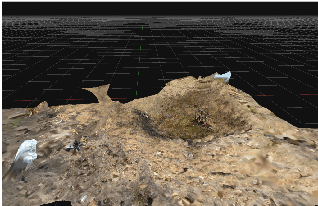
This example is a bomb crater on Kilvey Hill. The crater was most likely created in the January 1941 attack on the town. The crater is from a large calibre bomb (possibly 250kg) that has penetrated some way into the soft, marshy ground and then detonated.
In the 84 years since the detonation, the crater has softened with the crater lip mostly eroded. The crater frequently fills with water and has a different botanical nature to the surrounding grassland. This crater is a local biodiversity hotspot, allowing moisture to be present all year round and providing better protection from excessive temperatures. A large pine in the centre of the crater has died providing a reservoir of dead wood.
The concept of quick and cheap photogrammetry is now proven, and simple work like this can be comparable to expensive archaeological surveys, which cost far more, often a hundred times more than current archaeological firms charge.
