Making progress with accessible and cheap photogrammetry for small and very small landscape features. This project is to develop cheap workflows for local authorities and heritage groups to quickly obtain helpful heritage survey information.
When I worked on the Palace of Westminster Restoration and Repair programme, photogrammetry and point clouds were absurdly expensive, and R&R was very vulnerable to overspending and out-of-control costs in obtaining basic survey imagery. Equally, archaeology drone surveys seem to be moving in the same direction…expensive and complicated.
This project uses recycled cameras and computers to bring survey details within the reach of stretched budgets, allow the survey of threatened objects to be quickly documented, and append point cloud information to correct historical details. This allows the heritage information to be prioritised and the technology back where it belongs—in the background.
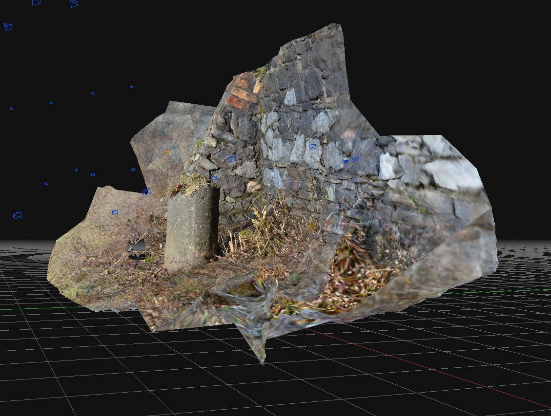
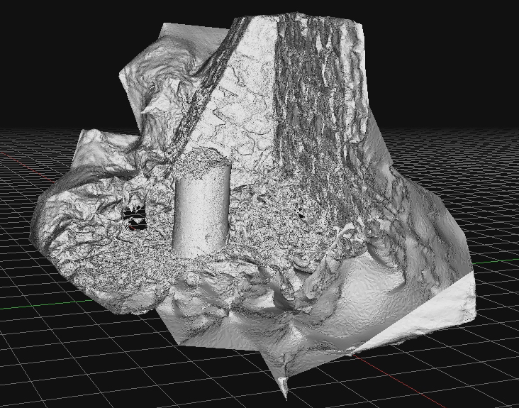
This riverside bollard was probably installed in the early 1800s and may be a repurposed atmospheric steam engine cylinder from the eighteenth century. The first of a portfolio of artifacts to be surveyed and interpreted as part of a landscape history programme.

