The Luftwaffe surveys of the Welsh ports are an incredible record of past landscapes that have now changed. Although the intent of the reconnaissance missions was to prepare for the bombing of the South Wales ports in 1940 and 1941, they also recorded some of the earliest and finest detail if the coastal landscape. Many of the best surviving images are explained and interpreted in Eye of the Eagle: Luftwaffe Intelligence and the South Wales Ports 1939-1941.
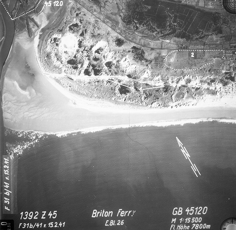
Below: The river mouth of the Afon Nedd and Briton Ferry in February 1941. The burrows had a road used since medieval times to allow travellers to cross the sands at low tides.